Having seen the highest point in the contiguous United States, why not go find the lowest point in North America? Are these two points only a 135 mile drive apart? We headed into Death Valley National Park to find out. First stop, Panamint Valley.

Death Valley National Park is huge – 3,373,063 acres to be precise. Over three million acres. From the park name, you might expect one big valley. Nope – there are two sets of basins and mountain ranges.
Moving west to east, the Sierra Nevada and Inyo Mountains border the park and the Panamint Valley followed by the Panamint Range followed by Death Valley followed by the Amargosa Range followed by the Amargosa Desert.
We started our six day exploration in the Panamint Valley at the Panamiont Springs “Resort” campground.


The resort consists of a fuel station, a campground, a motel and a restaurant. We stayed in the campground as a base for exploring the park.

We can’t resist a shot of Duncan with a generator – those of you who know our trials and tribulations on Whisper with the Fischer Panda generator will appreciate this comment.

Excited to try out the van’s 4 wheel drive capabilities, we went to explore the Wildrose Charcoal Kilns and Mahogany Flat campground.
Driving through the Wildrose Canyon, ten beehive shaped kilns rising 25 feet appear. Charcoal fueled the smelters used for lead-sillver mines in the area. The smell of charcoal permeates the air inside the kilns even though estimates show only two years of operation between 1877 and 1879.


Right after the kilns appears a slightly ominous sign and gate warning of rough road and 4WD requirements. With only slight hesitation, we drove past the warnings to test out the van’s 4WD. As Duncan picked his line climbing up to Mahogany Flat campground, I looked over my shoulder to see a squall approaching.

Hey Dunc, there is some weather coming our way”. Every brochure and sign in Death Valley warns of flash floods and their perils. With no where to turn around, we kept climbing to the summit. Right when we saw the sign for the campground, a few white flakes appeared on the windshield. The conversation went something like this. “R: Is that snow? D: Yep, that is snow. We better get down from here fast. R: I need to pee. D: There is no time to pee. R: Agreed. Let’s get outta here”

The minute we reached lower elevations, the snow and rain passed leaving abundant sunshine and many forms of relief.

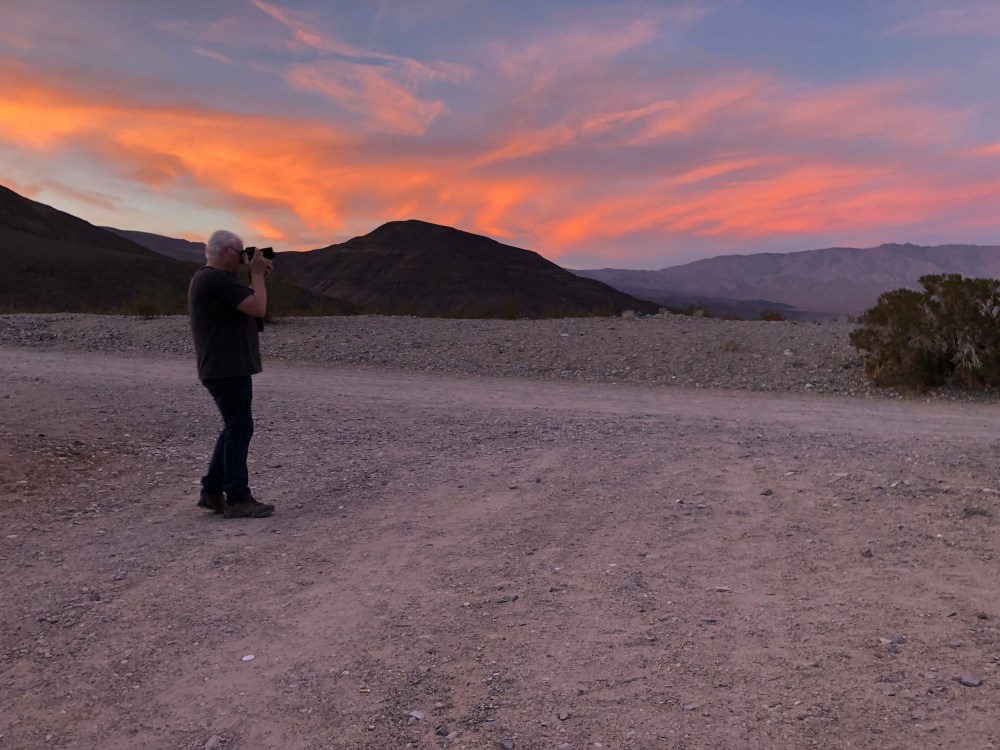
Every direction and drive delivers varied and stunning views.


We climbed, descended, climbed and descended only exploring a small portion of the vast park.


Artist Drive is a beauty.

The one way loop delivers varied terrain and beautiful varying colors of rock.


My (Robin’s) first 4WD driving experience lasted 2.3 miles on a gravel road up to the Mosaic Canyon. A short hike across a wash into canyon revealed marbled walls and smooth slippery surfaces.


Watching the GPS elevation drop into negative numbers is strange. As the numbers dropped, we arrive at Badwater Basin and salt flats 282 feet below sea level.


he Mesquite Flat Sand Dunes appear near Stovepipe Wells. To our surprise, people can walk out on the dunes. Something does not seem right about that to me.


Stalking the wily Salt Creek pupfish, we wandered the interpretive trail. Alas,
no pupfish sightings occurred.


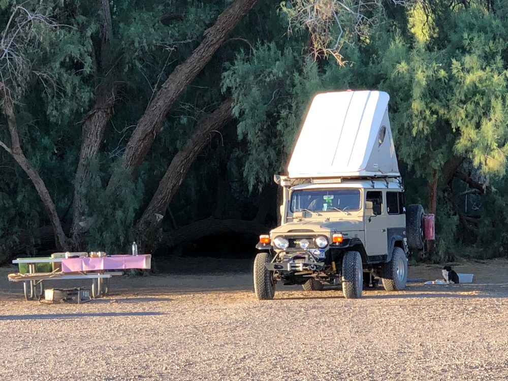
A couple and their dog rolled up to the Furnace Creek campground in this rig. We love it.
On the last day after we walked on salt flats 282 feet below sea level, we drove up to Dante’s View. The feeling of just how small we are relative to the vast terrain in Death Valley left us wanting to return for another visit.


What an intriguing place. Certainly has the wow factor. Those kilns look like they are in perfect condition, imagine the energy in building them. (Melva)